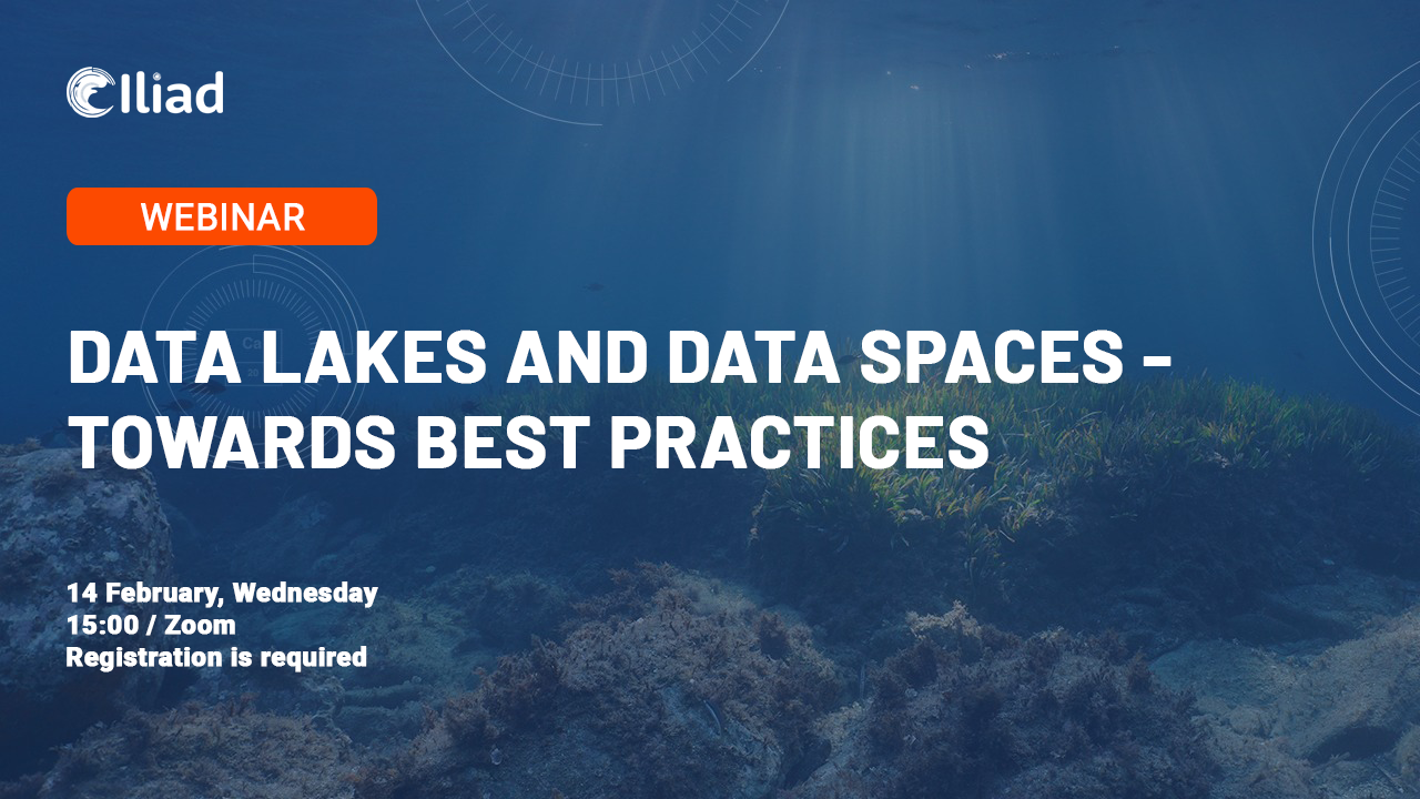
Iliad Webinar Series: Data lakes and data spaces - Towards best practices
Start: Wednesday 14th February 2024
End: Wednesday 14th February 2024
The next webinar in the Iliad series, "Data lakes and data spaces - Towards best practices " will take place virtually on 14th February 2024 at 15:00 CET.
Developing a digital twin of the ocean requires various combinations of processing a large amount of data and smaller diverse sets of data (big data: velocity, volume, value, variety and veracity). The concepts of data lakes and data spaces and combinations of these go into the development of digital twins. How do we do these combinations in the best possible way? The solution is to follow standards and best practices. What are the best practices - or rather how can they be collectively created and these best practices shared? The webinar will be both educational (definitions of data lakes, data spaces, best practices) with presentations of approaches of combined use of data spaces and data lakes, and discussions on how we can efficiently co-design functional best practices.
Agenda
Welcome and introduction to Iliad
Bente Lilja Bye, BLB
Approaches to data spaces and data lakes in Iliad digital twins of the ocean
Arne Jørgen Berre, SINTEF digital
Data lakes and data spaces in Destination Earth?
Thomas Geenen ECMWF
Towards data space support for digital twins with data lakes
Tom Redd,HubOcean
The Green Deal Data Spaces
Joan Maso, CREAF
The GREAT project “Marrying Complex Technology with Robust Governance, Promoting Circulation”
Mark Dietrich, EGI
Discussion
Presenters
Arne-Jørgen Berre, SINTEF Digital
 Arne J. Berre is Innovation Director at NorwAI.ai and chief scientist at SINTEF Digital. He is the lead of GEMINI Big Data iSpace and involved in the Norwegian Nemonoor AI EDIH. He is the leader of the BDVA/DAIRO TF6 Technical priorities. He is the technical coordinator of the COGNITWIN project on Cognitive Digital Twins for the process industry and involved in Circular TwAIn and COGNIMAN for Manufacturing. He was responsible for the national IDS-based Norwegian Data Space project – MDS - Maritime Data Space. He is the scientific coordinator of the European Green Deal, ILIAD, Digital Twin of the Ocean project, and the AquaINFRA EOSC project and involved in the new Mission Ocean projects CLIMAREST and DTO-BioFlow. He is the lead of the Norwegian ISO SC42 AI group and involved in ISO SC41 IoT and Digital Twin, ISO/TC211 and OGC. He is co-chair of WG5 DTO Framework and architecture (Turtle) in DITTO (Digital Twins of the Ocean) - a Global Program of the UN Decade of Ocean Science for Sustainable Development (2021-2030).
Thomas Geenen
 Thomas is Technology Partnership Lead for Destination EarthTechnology Partnership Lead for Destination Earth European Centre for Medium-Range Weather Forecasts.Thomas focus is on ensuring that the technologies required for DestinE aligns with Europe’s and national digital strategies, ECMWF and Member States capabilities, and that operational centres and future services are enabled to exploit the DestinE technology.
Tom Redd
 Tom Redd is the Ocean Governance Lead at HUB Ocean, a foundation with a mission to unlock the power of ocean data. Tom leads activities related to ocean restoration and governance. He is responsible for involvement in European activities and HUB Oceans role in the Iliad Digital Twin project. Previously, Tom has worked developing marine science funding programmes at a European level at the intergovernmental organisation JPI Oceans. His education is in marine science, policy, and law.
Joan Maso
 Joan Masó (m) is a Principal investigator of CREAF leading specialized group on geospatial interoperability, GIS, remote sensing . (PhD in Geography, MSc in Physics, and a MSc in Electronic Engineering all in the UAB). Since 1995 he is a researcher at CREAF and GIS developer. Co-creator of the MiraMon compressed map in 1997 that has evolved into a distribution and preservation format. Creator of Remote Sensing imagery visualization and download software for web data portals (the MiraMon Map Reader). He is an active member of the TC of the Open Geospatial Consortium (OGC) since 2003 (editor OGC 07- 057r7 WMTS standard among others and chair of the Iberian and Latin American Forum; ILAF). Spanish representative in the TC 211 and editor of the ISO 19165 Preservation of geospatial data and metadata. OGC Gardels gold medal in 2019. Coordinator of GeoViQua FP7 project (research project about visualization of quality information in GEOSS) and H2020 ConnectinGeo. Participant in H2020 ECOPOTENTIAL, H2020 GroundTruth 2.0, H2020 WeObserve H2020 ERA-PLANET, H2020 E-Shape, H2020 BestMap, H2020 COS4Cloud (INTRAEOSC project), ESA-IHE Phenotandem as well as some other national and local projects related both with remote sensing and geospatial standards and applications. Earth and Space Science Informatics (ESSI) former division president in the European Geosciences Union (EGU). Co-chair of the Citizens Science GEOSS working group. Senior member of IEEE and member of the International Society of Digital Earth (ISDE) council. Chair of the WeOBserver Community of Practice in Interoperability for Citizen Science.
Mark Dietrich
 Mark Dietrich is Senior Advisor with EGI Foundation, guiding EGI’s alignment with initiatives of the European Commission, with the broader cloud computing industry in Europe and with global open science efforts. Mark is an experienced leader and senior executive, skilled in a wide range of technologies, with particular expertise in high performance computing, spearheading Canada’s national advanced research computing organization, Compute Canada, in a complete refresh of its technology base and a full re-financing of its operations. Mark has advised e-Infrastructure organizations on four continents, as well as global vendors of advanced computing technology, on issues of strategic planning, service alignment, and operational impacts of technology trends. Mark has a BEE from Vanderbilt University in Mathematics, Computer Science and Electrical Engineering.
Bente Lilja Bye
 Bente Lilja Bye has been a member of the GEO community since 2004 then as Research Director of the Norwegian Mapping Authority. She has been engaged both as representative in the GEO plenary, in committees and contributing to the GEO Work Programme. She has served on the GEO Program Board representing Norway bringing her expertise on the polar regions. Today, Bente runs a small research and consultancy company, BLB, focusing on transforming Earth observation data to information and knowledge for societal benefit. Bente supports the NextGEOSS data hub and platform operations particularly through capacity development and resource mobilization. Bente serves as Innovation Manager in ILIAD bringing her expertise on operational systems such as European Sea Level Service, development on tsunami early warning systems and more. Bente characterizes herself as a nature loving gadget geek and is frequently seen on various expeditions on land or ocean.
About the Iliad Webinar Series
The Iliad webinar series aims to support communication across different disciplines and to facilitate the co-design processes and engagement with key stakeholders, a series of webinars and trainings covering topics ranging from technical to economics and policy are offered to Iliad partners.